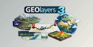
Description
GEOlayers — is a plugin for Adobe After Effects that allows you to create animated maps and work with geographic data directly in the program.
### Main features:
– Creation and animation of maps using real geodata.
– Integration with online maps (OpenStreetMap, etc.) for data import.
– Ability to add markers, routes, and annotations.
– Real-time animation of map changes (scaling, moving).
– Support for 3D extrusion of landscapes and objects.
– Export of vector data for detailed animations.
GEOlayers is ideal for creating infographics, presentations, news stories, and animations using cartographic data.